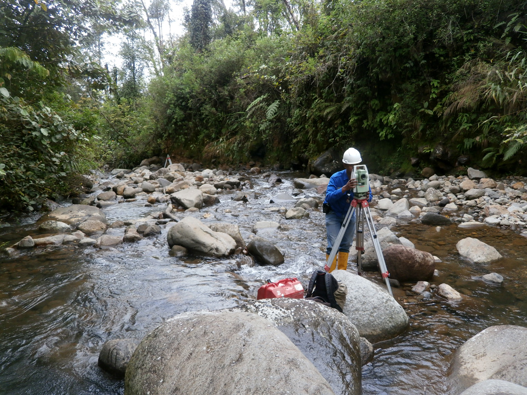
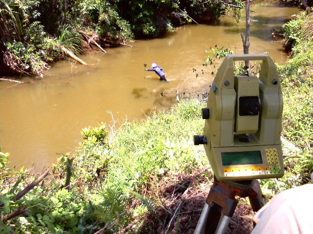
Survey teams available for work throughout Indonesia DGPS, total stations (conventional laser, reflector less and Automatic Target Recognition), electronic levels.
Survey data is obtained quickly & accurately then stored on board memory in our hardware for later processing & conversion into detailed 20 or 3D CAD drawings.
Full range of survey services offered from start to finish including initial topographic mapping through to design, setting out & construction control,monitoring and ”as built”.
- Survey networks & geodetic ground control including processing, adjustments & mapping grid conversions.
- Reference datum’s, control points & benchmarks.
- Topographic surveys – DGPS and total station.
- Well location positioning.
- GPS surveys – single & dual frequency, real time positioning, static and kinematic “on the-go”. Geodetic Satellite & air photograph ground control.
- Locate, set out & survey of well sites, roads, earthworks, processing facilities, power stations and other infrastructure.
- Design of excavation & earthworks, cut and fill, earthwork balance, including quantities and volume calculations.
- Construction setting out, control of civil & structural engineering Earthworks & roads.
- Flood & water level monitoring.
- Settlement & construction monitoring.
- “As Built” Surveys.


