Geological Survey Indonesia

Geological Survey

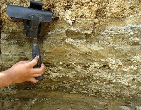
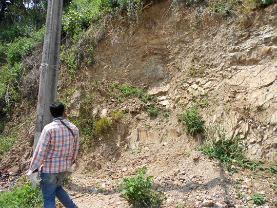
Geological mapping is fundamental to any exploration project and construction project. Effective mining exploration requires an in-depth understanding of the lithological and structural controls. These insights must be gained through geological mapping at the early stages of the exploration program.

Mapping is a cost-effective exploration tool and a project-generative process that delivers tangible benefits to all exploration programs.

A good geological map not only provides focus to an exploration program, it also clearly communicates the economic potential of a project to stakeholders.

Geotechnical Survey Indonesia

Services

  • Base mapping
  • Drill core logging
  • Structural mapping to define geometry and mineralisation controls at regional to mine scales
  • Interpretation of multiple data sets in an integrated 30 environment
  • Calculation and analysis of mine volumetric and geometry
  • Slope stability and safety factor analysis for mining
  • Expert analytical support to solve specific issues (e.g. petrography, alteration, fluid inclusions)

At R.I.G, our exploration consultants have experience in mapping and the utilisation of drilling information in a variety of commodities and geological settings. Using our knowledge of regional to mine-scale mapping, interpretation of bottom-of­ hole geology and coherent interpretation of drilling programs, we can generate high­ quality products in a time-efficient manner. Our multi-disciplinary team ensures that the most appropriate datasets, including geophysics, are utilised to generate robust interpretations. Our consultants have access to a variety of software packages and can ensure that the data and interpretations generated can be included in subsequent work programs.