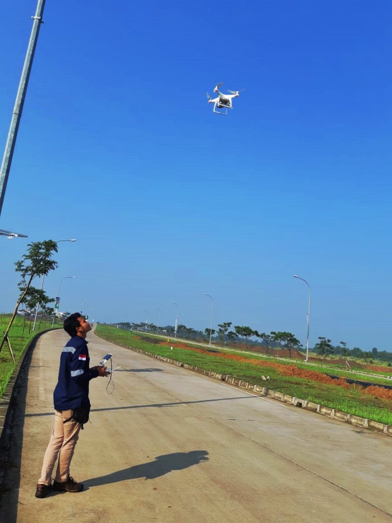
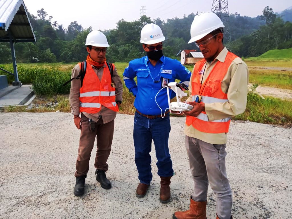
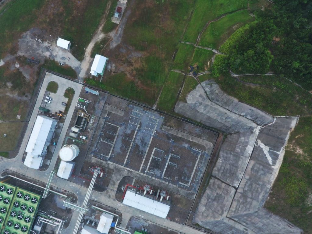
Our professional team with years of field experience we are a specialist in the airborne survey. Our company produces high-quality topographic surveys using our acquisition techniques by drone. We deliver GIS ( Geographical Information System) products that answer our customer needs in terms of quality and accuracy.

Airborne Survey
Post-processing, automated (by autocorrelation) or manual (by stereoscopic restitution) is then done by our engineers using dedicated, high-performance tools. We guarantee delivery of the highest quality products including orthophoto maps, contour lines, 3D models, DTM or DSM, volume calculations, and profiles, among others, thanks to our in-house professional procedures and techniques. Now hundreds of Hectare topographic mapping can be just done in days with accuracy +/-25cm


