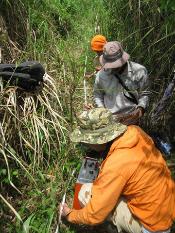
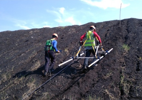
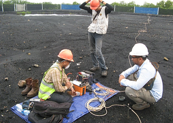
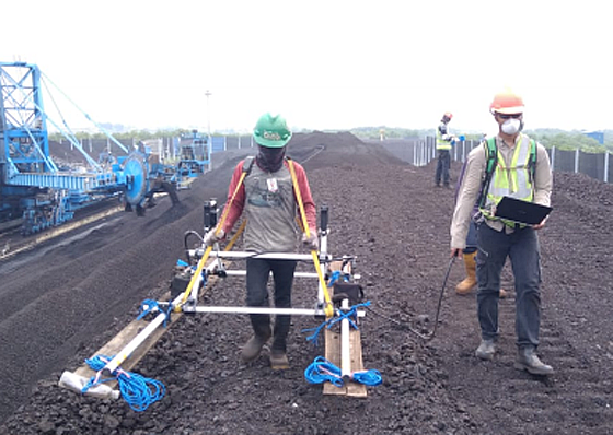
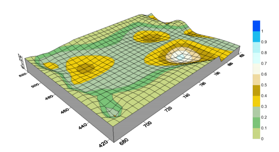
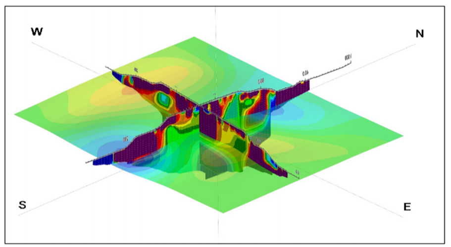
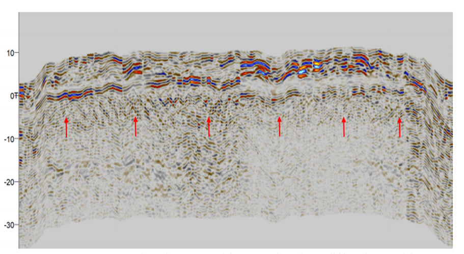
R.I.G Geophysical survey can provide your geophysical needs in mining exploration, groundwater exploration, construction, and utilities mapping. Our survey can facilitate from mapping to modelling subsurface characteristics and resources calculation in mining or groundwater drilling or subsurface utilities mapping for a construction development project. Our experienced and skilled geophysicist team deliver expert advice, design, execution, and reporting service with methods as below :
- Vertical Electrical Sounding (VES) 1D
- Electrical Resistivity Tomography (ERT)
- Seismic Downhole and Crosshole
- Seismic Refraction
- Utilities mapping using Georadar/ GPR


