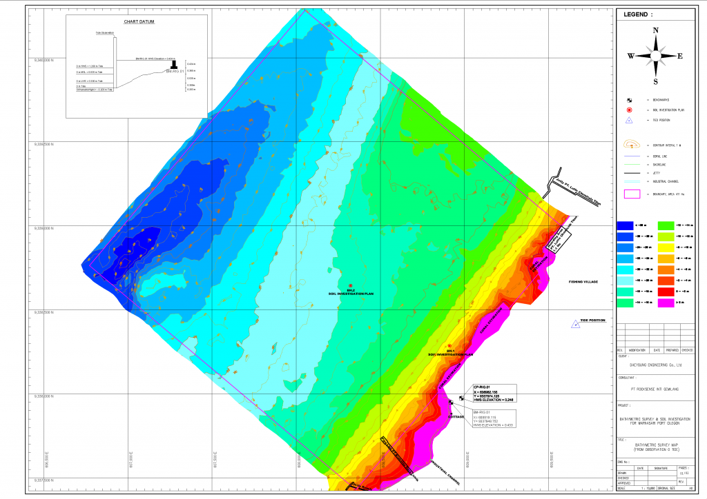
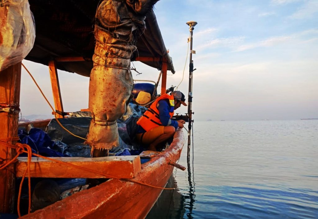
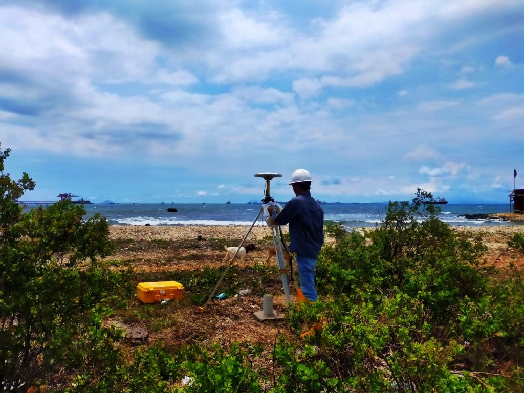
Our Hydrographic surveyor fleet quantifies the depth and form of the seabed using one of our single beam or multibeam system depending on the purpose of the bathymetric survey data which may include depth clearance, pre and post dredge volumetric calculations, planning and monitoring of marine construction projects.
Bathymetric Survey
Hydrographic Surveys We Perform:
- Tide Monitoring
- Single Beam Bathymetry
- Multibeam bathymetry
- Side Scan Sonar
- Sub-bottom Profiler


